IMAGE
Map of agricultural college farm, 1868 Item Info
- Title:
- Map of agricultural college farm, 1868
- Date Created:
- 1868
- Description:
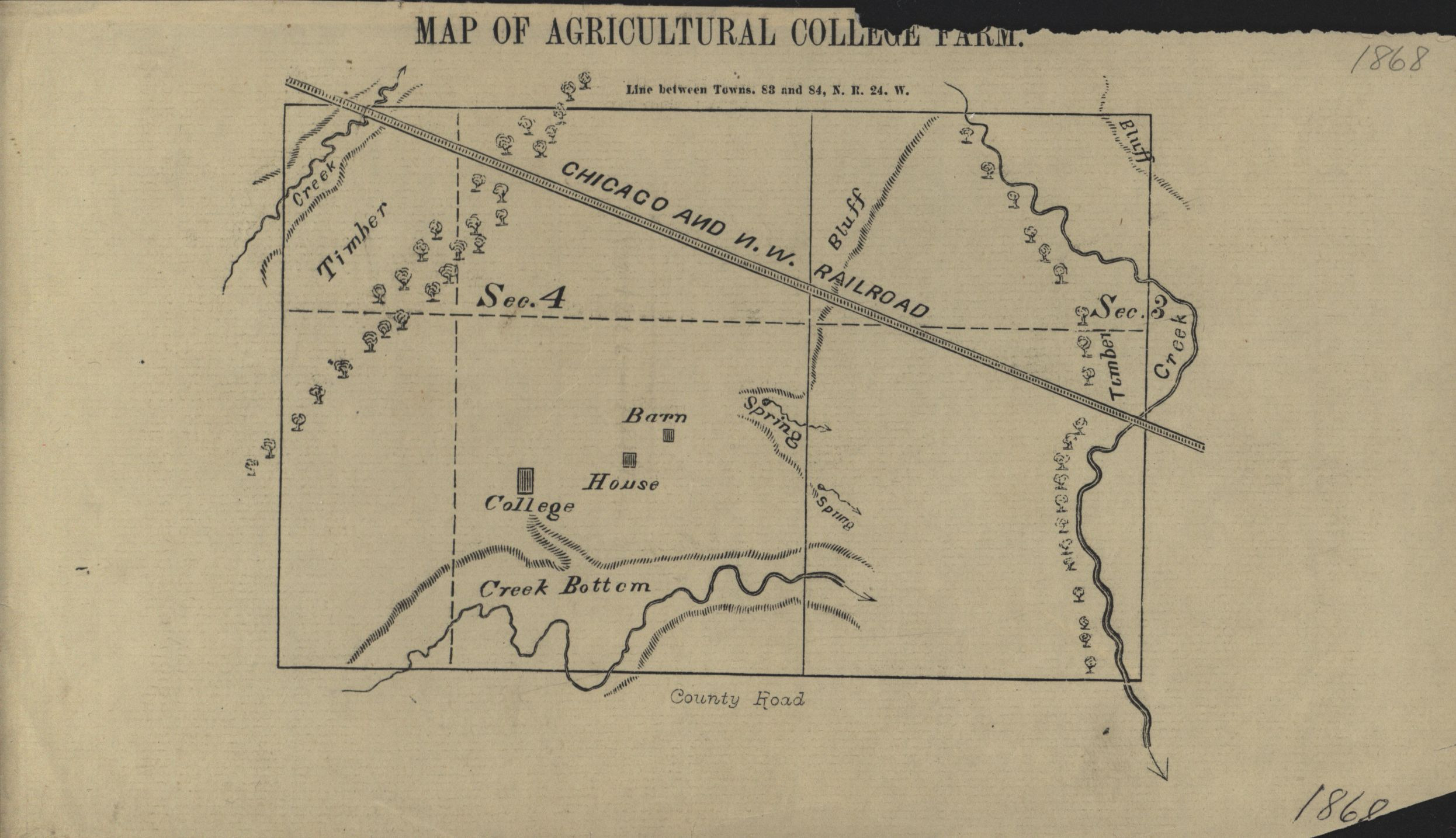
- Map of Agricultural College Farm including the barn, house, college, and surrounding landscape in 1868.
- Subjects:
- College campuses
- Location:
- Iowa--Ames
- Latitude:
- 42.03471
- Longitude:
- -93.6199
- Type:
- Image
- Format:
- image/jpeg
- Language:
- eng
Attribution
- Citation:
- "Map of agricultural college farm, 1868", Data Storytelling Class Projects, /jlmc3900-sp26/items/historicalmaps7.html
Rights
- Rights:
- The Iowa State University Library believes that this item is in the public domain under the laws of the United States, but a determination was not made as to its copyright status under the copyright laws of other countries. The item may not be in the public domain under the laws of other countries.